Tutorial: Computational Geography
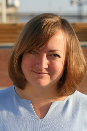
Vanessa Murdock - Yahoo! Research
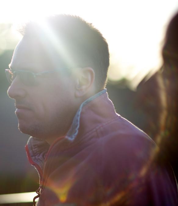
Gary Gale - Nokia Gate5
As technology moves to personalization and mobility, users expect their applications to be location savvy, and relevant to their lives with increasing detail. A person's geographic context includes their current and previous location, the things that surround them, their activity in a given place, as well as their thoughts and feelings in that place. Understanding this context allows us to personalize their experience and refine their interactions with an application, on a hyper-local level.
The tutorial will cover four basic areas. The first is an overview of how geographies are represented, and how they are organized in gazetteers, using Geonames and GeoPlanet as examples. We discuss the differences between official geographies, and human-centric geographies (such as neighborhoods and colloquial places which are often not defined in official sources). We discuss points-of-interest, whose definition is frequently application-dependent. For example, a search engine presenting sponsored listings for local search would define a local business or venue as a point-of-interest. A transportation department might be more interested in metro stops, bus stops, and roadways. A tourist recommender application, or a mapping application, might define points-of-interest as landmarks, and historic places.
The second set of topics covered by the tutorial are an overview of the resources available to academic researchers. These include open data sources, and APIs, as well as open-source mapping software. The data presented will focus on social media (Twitter, Flickr and Foursquare), but we will also discuss data sources such as OpenStreetMap, and the official data accessible through APIs (such as Geonames and Placemaker). The APIs presented will include the perl Geo and Proj4 modules that are useful for representing places on a map, as well as Google Earth's API which is helpful for making map-based location demos.
The third topic area will include an overview of the state of the art in modeling places, and discovering place boundaries. This includes work in understanding the location implicit in text, determining the location of a user from his queries and tweets, finding neighborhood boundaries and colloquial places, and discovering points of interest, as well as place-based benchmark initiatives such as the Placing Task of the MediaEval Benchmarking initiative.
The final topic will be an overview of place-based applications, a set of open problems, and the needs of the industry. The aim is to give the participants an idea of what is already out there, and how to use the research to create a killer location-based app.
Speakers:
Vanessa Murdock - Yahoo! Research
Vanessa Murdock is a research scientist at Yahoo! Research in Barcelona. She leads the Geographic Context and Experience group which works with Yahoo! Geo Technologies to improve the modeling of locations. Her research focuses on representations of places in unstructured text for applications such as predicting the location of a person from their search history, determining the geographic intent of a query, and finding points of interest in a city. She directs the Yahoo! participation in the Glocal European Integrated Project under FP7. Prior to this she worked on Multimedia Search and Sponsored Search. She received her PhD in 2006 from the Center for Intelligent Information Retrieval, at the University of Massachusetts, advised by W. Bruce Croft. She is co-organizer of the Placing Task in the MediaEval Benchmarking Initiative 2010, and 2011.
Gary Gale - Nokia Gate5
 Gary Gale works is Director of Ovi Places for Nokia. He is the co-founder of WhereCamp EU, the chair of w3gconf and sits on the W3C POI Working Group and the UK Location User Group.
Prior to Nokia, Gary was at Yahoo!, leading their Geo Technologies group in the UK, releasing GeoPlanet and Placemaker and providing the geo heavy lifting for Flickr and Fire Eagle. He developed geophysical technologies at Digicon to aid in the search for natural resources and at the European Space Agency Research Institute in Rome, Italy, participating in the development and launch of ERS-1, Europe's first remote sensing satellite. Outside of the location and geo field, he's been at companies including the BBC World Service, Reuters, Factiva.com and Network Associates. Writing as regularly as possible on location, place, maps and other facets of geography, he blogs at www.vicchi.org


